
Waterfall


Bukov Dol is a short (4.5 km) left tributary of the Kanina River. It flows between the lands of the villages of Kovachevitsa and Gorno Dryanovo. About 850 m before its confluence with Kanina, the water of the river jumps from an almost vertical rock and forms a beautiful waterfall about 20 m high.
A few years ago, a path was built, about 350 m long, from the road that connects Kovachevitsa and Gorno Dryanovo to the waterfall. In this way, access to the latter was greatly facilitated. However, the river soon destroyed the built wooden bridges and parts of the path. It was compromised in places by rock and earth landslides. For these reasons, despite the proximity of the paved road, going to the waterfall became difficult.
The starting point is the large stone bridge over the river. It stands equidistant from the above-mentioned two villages, and the road connecting them runs along it. There is an extension next door where vehicles can be left. The waterfall is reached on the left bank of the river. Movement should be done with caution, especially in places where there are landslides. In wet weather it should not be undertaken as the risk of accidents is very high. It takes 20-30 minutes to reach the waterfall.
Gradishte


1 kilometer north of Gorno Dryanovo is the Gradishka skala - 60 meters high. The ancient settlement of Gradishte dates back to before the Ottoman Empire and is located behind the Gradishka rock.
There are remains of walls and enclosures, which may be the remains of an ancient sanctuary, settlement or of the foundations of a monastery. Pottery pots and Roman coins are still found there.
The path to the foot of the cliff is relatively easy, and to the village above is rutted by the rains, but not particularly difficult.
Usten's rock
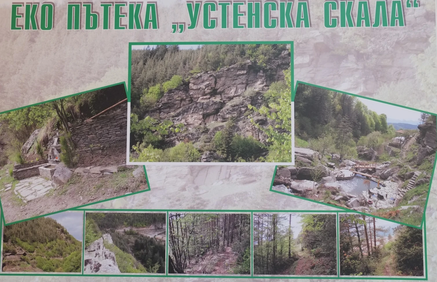
There is an eco trail to the Ustenska Reka starting from the Dianira Hotel, Gorno Dryanovo